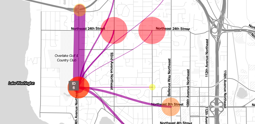
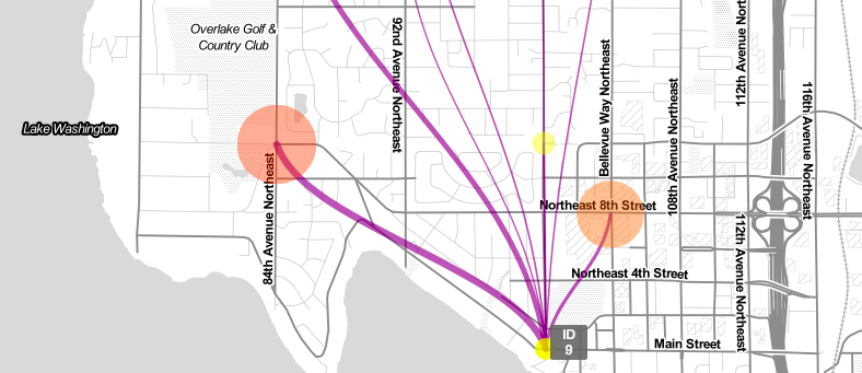
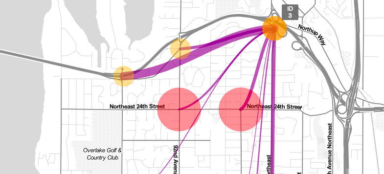
This tool visualizes the origin-destination vehicle traffic patterns from nine traffic counter stations in Clyde Hill, Washington, a Seattle suburb. The client suspected motorists were bypassing highway 520 via arterials and wanted to see which surface arterials were being used as bypass routes. This tool visualizes origin-destination data from nine detection devices placed in the study area and helped identify where to focus on to make circulation improvements. The visualization helped project staff and elected officials understand existing traffic patterns as well.
Explore the live map here.